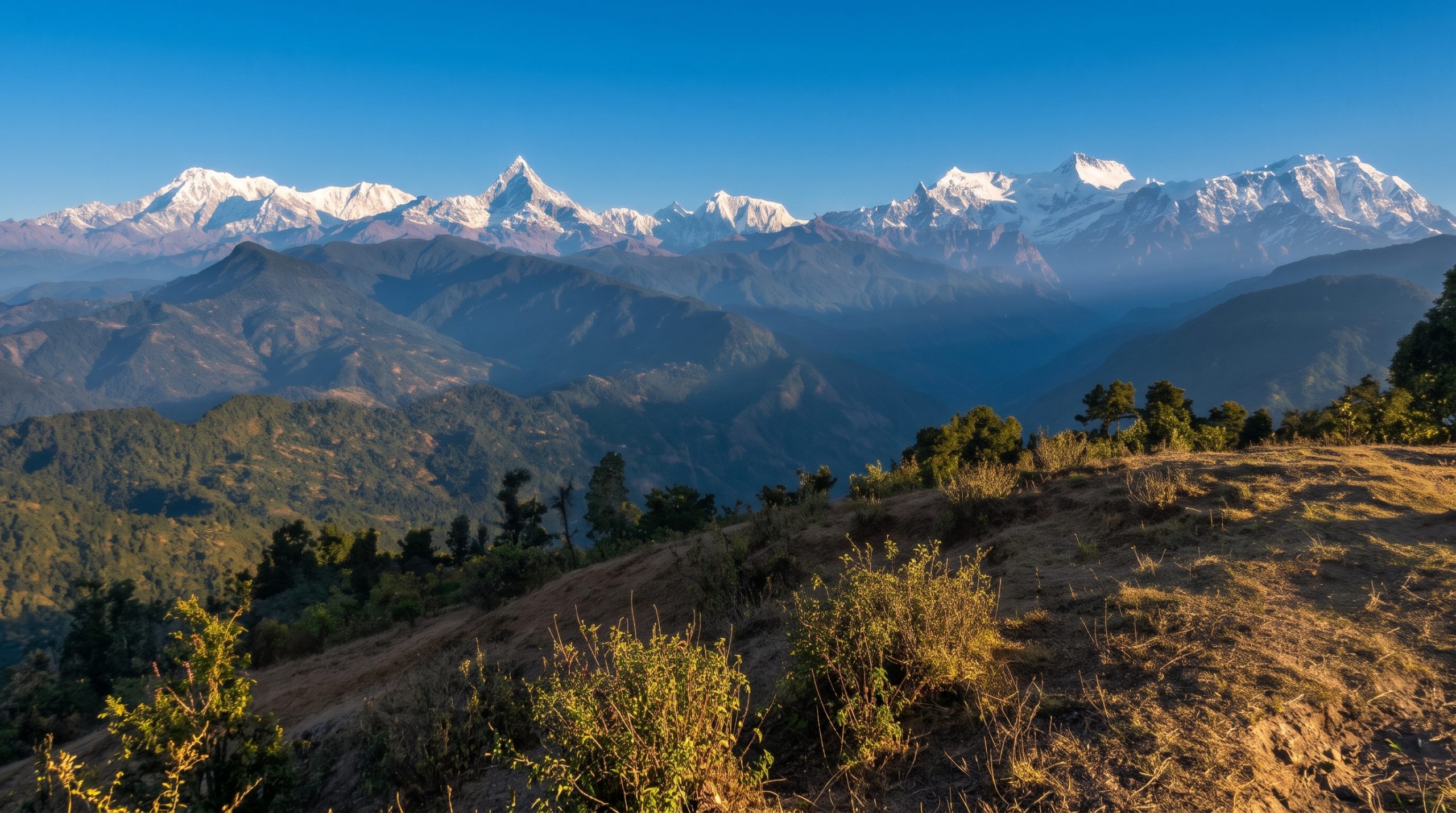
Machhapuchhre and the range seen from Thulakot

IAEG Field School in the Himalaya
Two weeks of engineering geological mapping along the Kali Gandaki, Nepal.
- Applications
- Open now
- In the field
- April 2027
- Places
- Up to 25
Two weeks across three tectonic zones
From the Lesser Himalaya near Pokhara to the Tibetan-Tethys Himalaya at Muktinath.
14
days in the field, about three quarters of them outdoors
25
places, mapping in groups of five or six, each with an instructor
The first international field school in engineering geology to be held in the Himalaya.
Who it is for
PhD students, early-career researchers and practitioners in engineering geology, geotechnical engineering and geomorphology.
Four stops up the Kali Gandaki
Each group stays a few nights at every base, long enough to map its area properly.
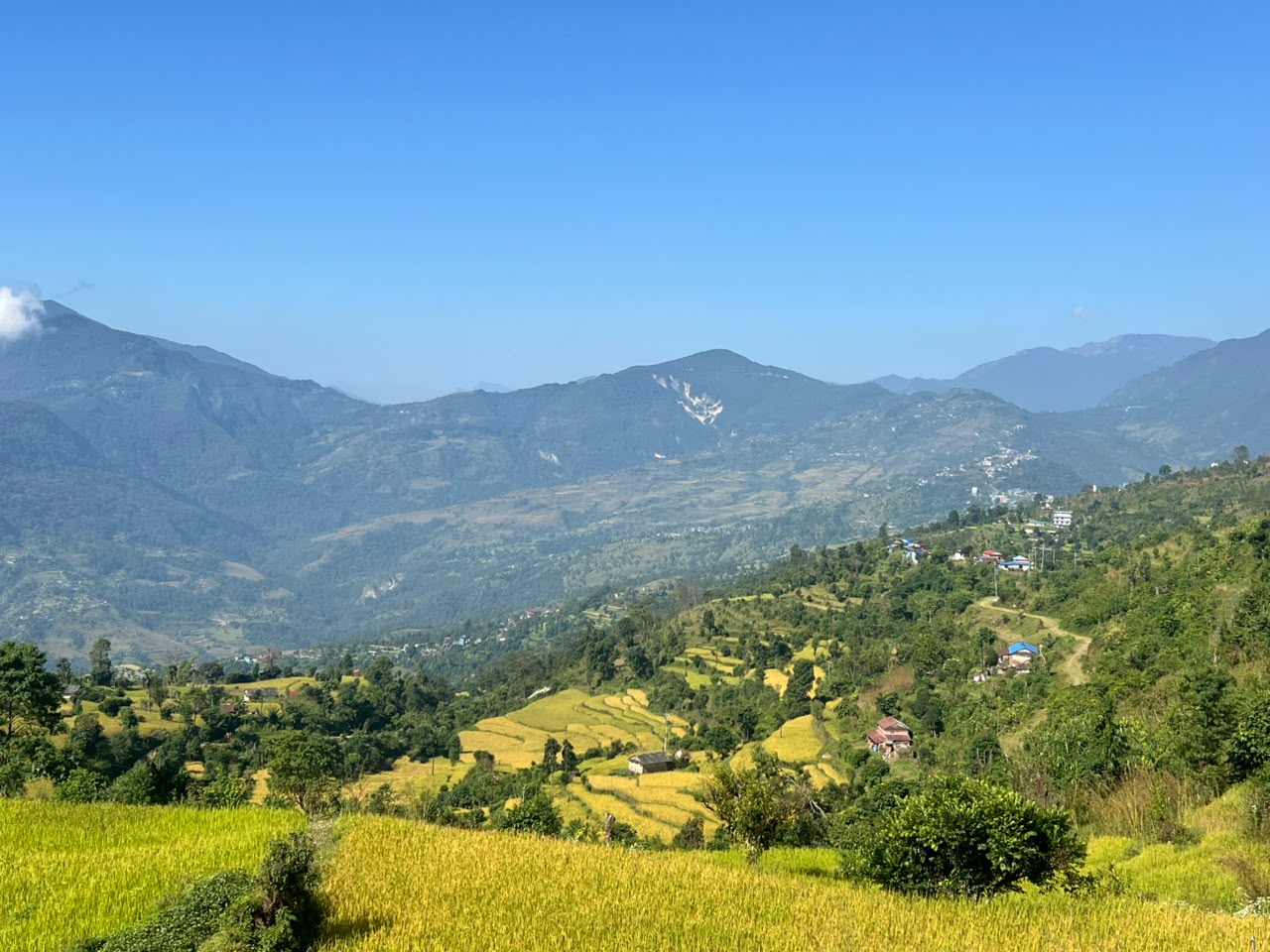
Pokhara and Naudanda
Days 1 to 4. Lesser Himalaya, based in Pokhara.
A large, deep-seated creeping landslide under a village and its roads: hazard assessment and mitigation.
Landslide-scarred slopes above a hairpin road.
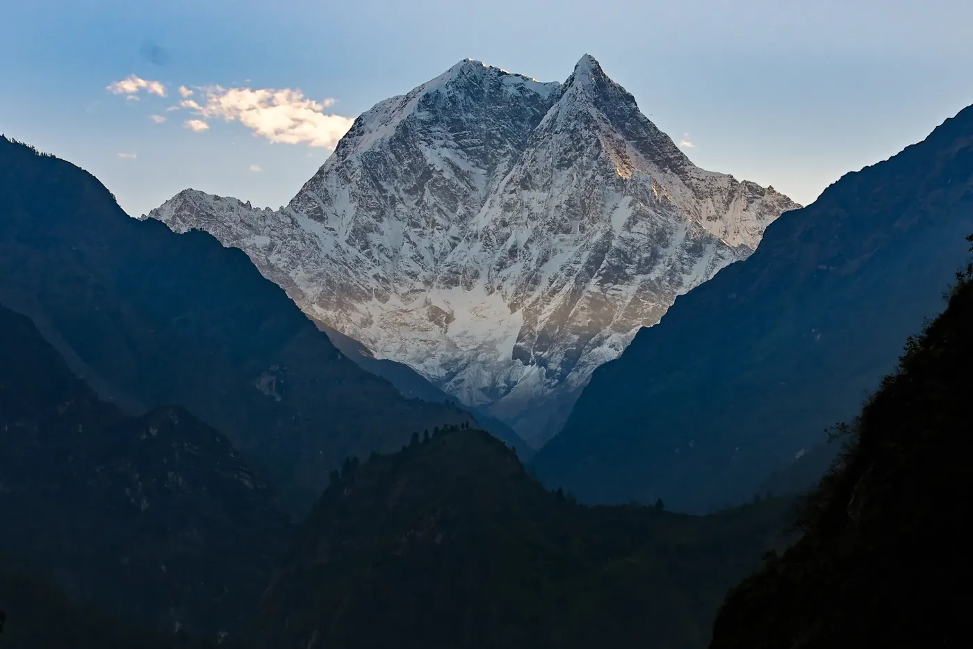
Tatopani
Days 5 and 6. Lesser Himalaya, one night.
The regional geology, setting and natural hazards of the middle Kali Gandaki valley.
Nilgiri from Tatopani.
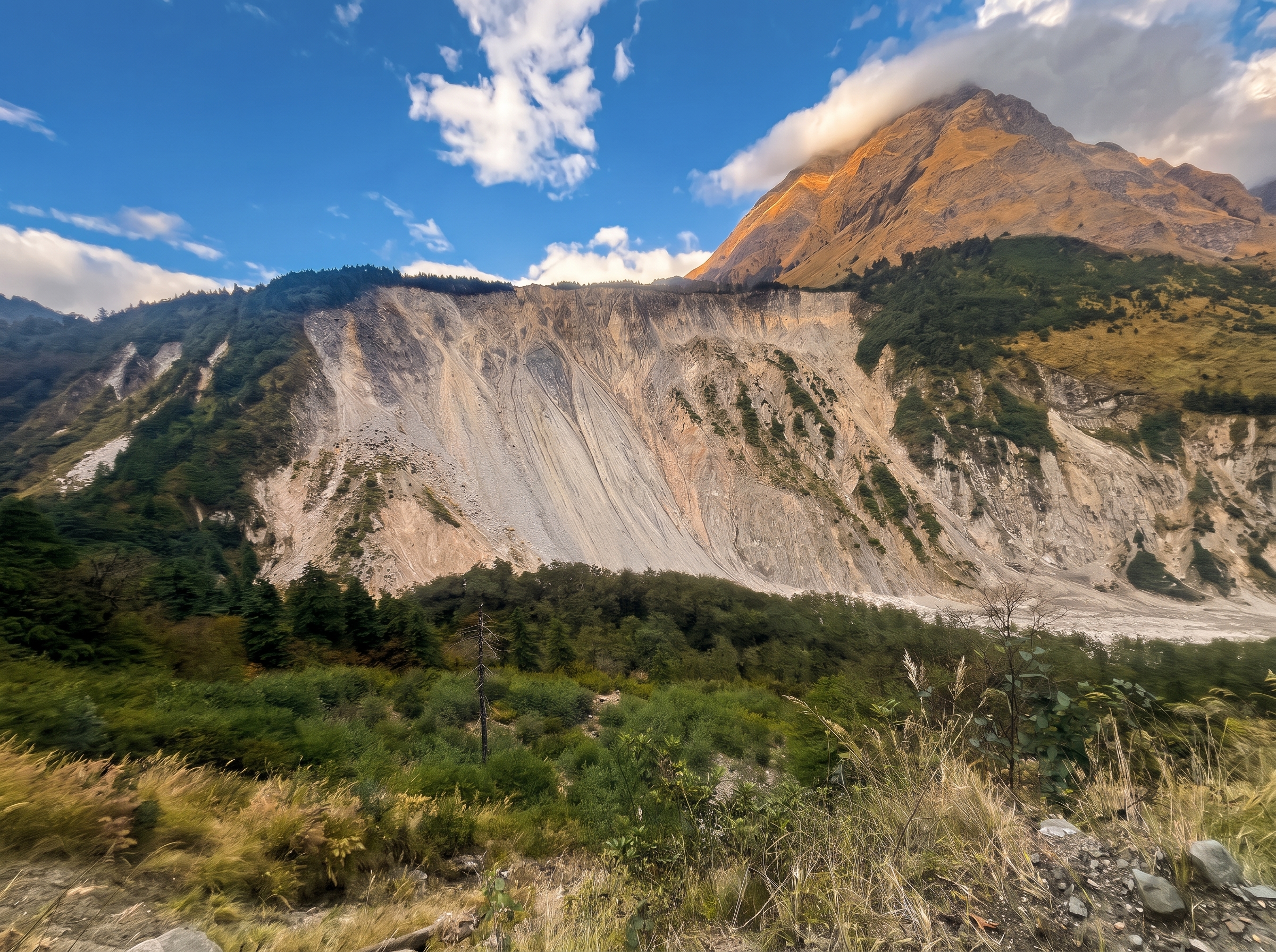
Lete
Days 6 to 8. Higher Himalaya, three nights.
Huge diamictons of landslide and glacial origin, and how to tell them apart.
A massive mountainside collapse near Lete.
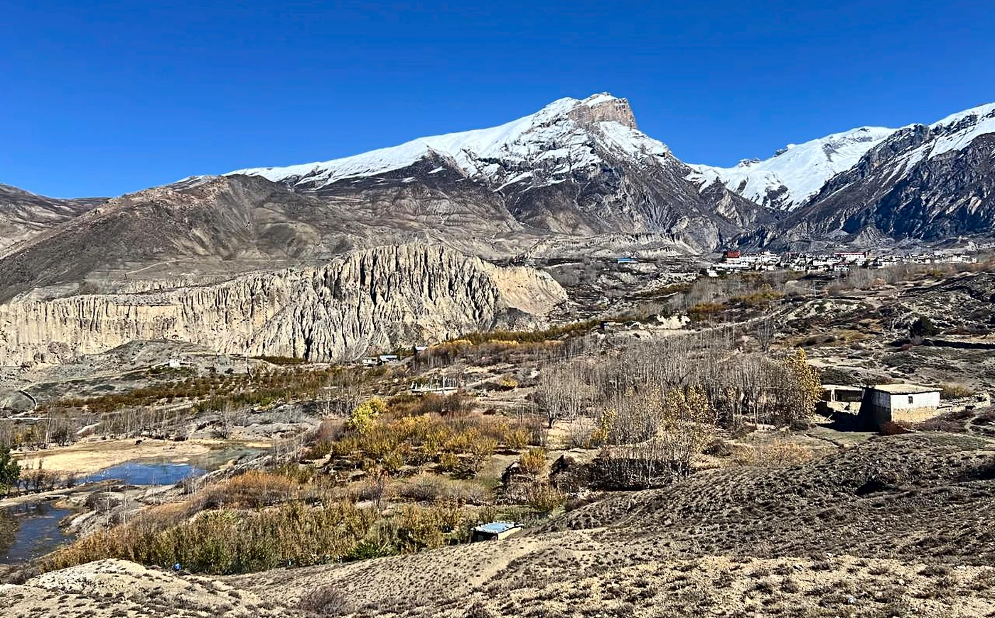
Jomsom, Jharkot and Muktinath
Days 9 to 12. Tibetan-Tethys Himalaya, based in Jomsom.
Deep-seated landslides, glacial landforms, landslide dams and the lake deposits behind them.
The valley below Muktinath.
Many young geologists now finish their studies with little field experience. Here they spend two weeks mapping real problems, with an instructor beside them.
Instructors in the field
From universities, research centres and consultancies. They teach on a voluntary basis.
- Christian Zangerl
BOKU University, Austria - Janusz Wasowski
CNR-GEO, Italy - Ranjan Kumar Dahal
Tribhuvan University, Nepal - Shuichi Hasegawa
Kagawa University, Japan - Manita Timilsina
Nepal - Chris Massey
- Simon Cox
- Hans Weidinger
- Tom Dijkstra
- Monique Fort
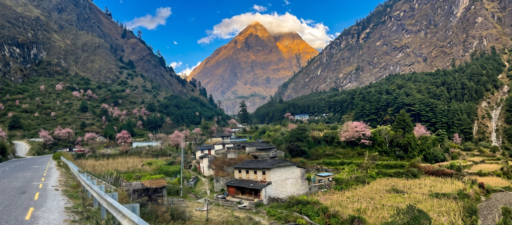
Panoramic view of Ghasa village, Mustang.
Fees and key dates
The fee covers your 14 days in Nepal: rooms, meals, field transport, safety kit and course materials.
| Participant | Fee | Notes |
|---|---|---|
| Nepali participants | Fully funded | At least 3 places, selected and funded by NSEG. |
| Low- to middle-income countries | USD 1,000 | For young members of IAEG national groups. Sponsor support is being sought for participants from low-income countries. |
| High-income countries | USD 2,500 | Usually paid by the participant’s own institution. |
Key dates
| Applications open | 1 November 2026 |
|---|---|
| Application deadline | To be announced |
| Selection results | To be announced |
| Field School in Nepal | April 2027 |
Organised by
International Association for Engineering Geology and the Environment (IAEG)
IAEG National Groups
Nepal
Nepal Society of Engineering Geology (NSEG). Host and Secretariat.
Austrian National Group of IAEG
Austria
Austrian National Group of IAEG, with BOKU University, Vienna.
Italy
Italian National Group of IAEG, with CNR-GEO.
Supporting partners

IAEG China National Group
Japan National Group of IAEG (JSEG)
Chinese Taipei Regional Group of IAEG
Bangladesh National Group of IAEG
Pakistan National Group of IAEG
Bhutan National Group of IAEG
International Consortium on Geodisaster Reduction
Himalayan Society of Geoscientists (HSG)
Before you apply
Do I have to be a member of IAEG?
Members of IAEG national groups are given preference. If your country has a national group, joining before you apply is a good idea.
Is there financial support?
NSEG is looking for sponsors for participants from low-income countries. Write to the Secretariat before you apply.
How do I get to Pokhara?
Fly to Kathmandu, then take a 35-minute domestic flight or a tourist bus of about five hours.
How hard is the fieldwork?
Long days on steep ground, ending near Muktinath at about 3,700 m. You should be fit and know the signs of altitude sickness.